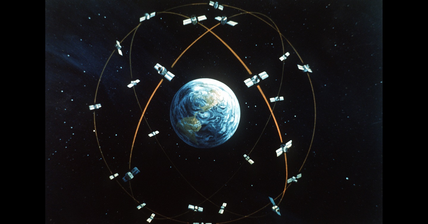
Hmmm, I am a bit unsure about it. In the polar regions compasses tend to go a bit haywire. There are many localised variations in the earth's magnetosphere and even a volcanic eruption may be enough to change a localised field. 3 m accuracy with GPS? That's somewhat of an understatement. In part your accuracy is determined by how many satellites your GPS receiver can see / receive at once. At a minimum it really needs 3 and the more the better, and from memory I think that the maximum that it is able to see at any one time is 5. The thing about GPS is time and it's the time data and ephemera data encoded in the signals that's being used to determine the receiver's spatial location in 3 dimensions. Today you can generally get that down to about 1m. For accurate sub metre measurements you need fancier gear and a fixed known location to work from. I worked with gear that was accurate to +/- <1 cm and was used for surveying.Here’s an article describing the utilization of earth’s magnetic field as an alternative to GPS. Although accuracy is 10 meters versus GPS’s 3 meters, this alternative should be less vulnerable to jamming and no worries about kit being destroyed.

The Air Force’s Latest GPS Alternative: Earth’s Magnetic Fields
Officials just launched a public challenge to help create the artificial intelligence needed to turn the planet’s magnetic fields into readable maps.www.defenseone.com
Yes we do have a problem with the probable loss of GPS, GLONASS etc., during a conflict and an alternative accurate navigation method will have to be developed. I think that something based in the quantum computing / particle /mechanics fields maybe the answer because it has to be small enough to fit into a warhead.


