EADS, Germany: This day marks the beginning of a new period in the history of Infoterra GmbH, one of Europe’s leading geo-information service providers, based in Friedrichshafen, Germany.
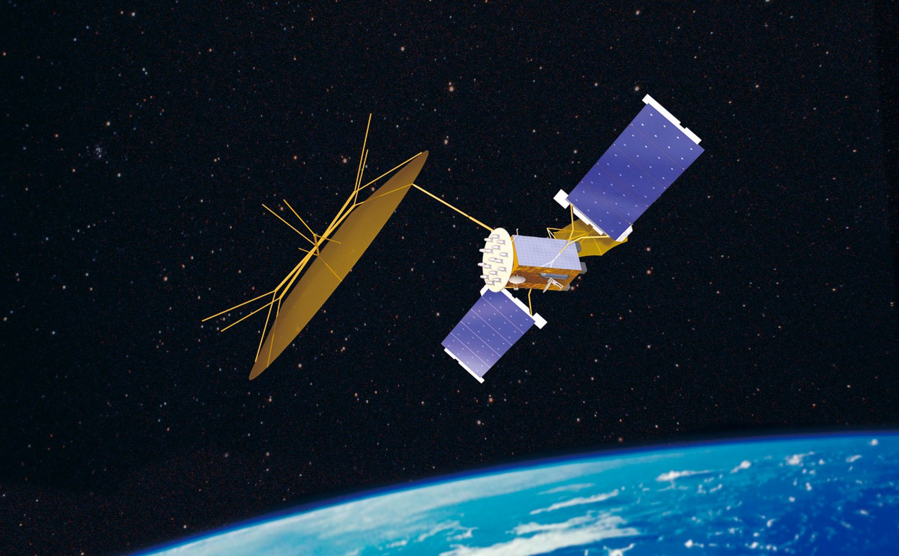
The successful launch of the German radar satellite TerraSAR-X on Friday, june 15th at 08.14 hrs local time (04.14 hrs CEST) from the Russian Cosmodrome in Baikonur, Kazakhstan, is the first significant milestone in the implementation of a public-private-partnership (PPP) between the German Aerospace Centre (DLR) and Infoterra’s parent company Astrium GmbH.
“It is now up to us to advance this mission”, explains Joerg Herrmann, managing director of the subsidiary, that was founded in 2001 with the specific purpose of preparing and pursuing the commercial marketing of the TerraSAR-X data. “In the coming years, we will ensure the long-term commercial success of the TerraSAR-X mission. All partners involved will benefit from Infoterra’s accomplishments, as these will secure the sustainability of the mission.”
Infoterra has thoroughly prepared these marketing activities: A reliable global distribution network as well as a secure technical infrastructure for the data sales has been established. Further, even prior to the satellite’s launch, a small, yet distinguished customer base has already been engaged, while promising negotiations with numerous further clients are currently ongoing. Last but not least, a sound portfolio of radar-based geoinformation services has been pre-developed and is ready to be brought into the market.
“We have been eagerly working towards this day for several years and are now looking forward to start the reliable provision of TerraSAR-X data as well as our derived geo-information services portfolio to our customers soon.”
Infoterra anticipates that the first preliminary datasets will be delivered in about three months, the full data quality and the satellite’s full operationality will be reached six months after launch.
Infoterra GmbH was founded in 2001 with the purpose of preparing and pursuing the marketing of the TerraSAR-X data and holds the exclusive commercial exploitation rights. The company is responsible not only for the commercial distribution of the data, but for the development and marketing of derived geo-information products and services as well. Further, Infoterra has been a leader in development and validation of geoinformation services within the European GMES (Global Monitoring for Environment and Security) Initiative for several years, coordinating major development and implementation projects within the GMES Land Monitoring Services.
Infoterra GmbH employs a workforce of 40 in Friedrichshafen, Germany, and is part of the Infoterra Group, which comprises companies in France, Germany and the United Kingdom with over 300 employees and a turnover of more than 50 Mio Euro. The company is a wholly-owned subsidiary of Astrium GmbH.
AboutTerraSAR-X
TerraSAR-X is the first German satellite to be realised within the scope of a public-private partnership (PPP) between DLR and Astrium. Europe’s leading satellite specialist, Astrium, is sharing the costs of the development, construction and deployment of the satellite. The scientific use of the TerraSAR-X data is the responsibility of DLR, as is the mission planning and operation of the satellite, whilst Infoterra GmbH, a subsidiary of Astrium specifically established for this purpose, will be responsible for the commercial exploitation of the satellite data.
With its active antenna, the satellite will record new high-quality X-band radar images of the entire planet whilst circling Earth in a polar orbit at an altitude of 514 kilometres. TerraSAR-X will carry out its task for five years, independently of weather conditions, cloud cover or daylight, and will be able to provide radar images with a resolution of up to one metre.
Trojan Horses in Space: Cyber Threats Hidden in Satellite Networks
Most of us like satellites. They power our televisions. Allow us to find our way home from anywhere on the...


