South African Department of Science and Technology,
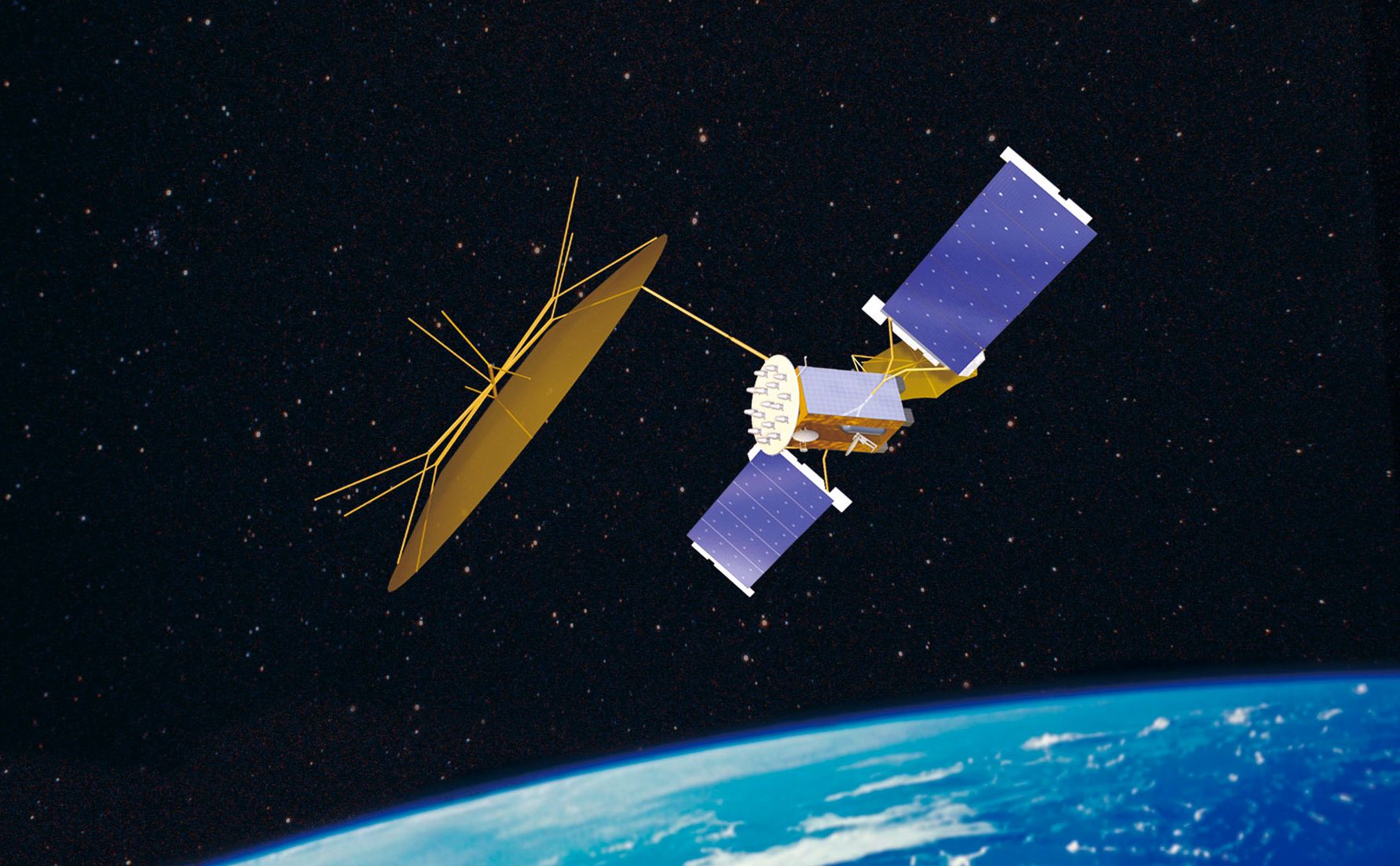
SUMBANDILAsat is the name of South Africa's brand new low earth orbiting satellite, which will be launched into space from a submarine in Russia during December 2006.
Meaning 'Lead the way' in Tshivenda, SUMBANDILA was among the more than 3 000 entries received in a national competition that was initiated by the Department of Science and Technology (DST) and implemented through the South African Agency for Science and Technology Advancement (SAASTA) earlier this year. The “Name the satellite challenge” was open to all learners from grades 7 to 12.
The three winners, who all came up with “Sumbandila” are:
1. Ofentse Khutswane (grade 7) from Laerskool Rachel de Beer, Pretoria
2. Beki Boneni (grade 12) from Isilimela Comprehensive High School, Cape Town and
3. Benedict Ngidi (grade 9) from Brettonwood High School, Durban.
The winners each received a computer, handed to them by Science and Technology Minister Mosibudi Mangena, at this afternoon's name announcement and prize-giving ceremony held at the DST offices in Tshwane. The youngsters will also get a chance to visit the satellite construction site in Stellenbosch in the next coming weeks.
The panel of competition judges was made up of representatives from the DST, Sunspace, the University of Stellenbosch, SAASTA, the Department of Trade and Industry and the Council for Scientific and Industrial Research's Satellite Application Centre (CSIR-SAC). They were looking for a name that would capture the following:
– identify the satellite as a South African project;
– contribute to the branding of the satellite as a major South African space technology achievement
– identify SA as a leader in peace and in leading the way towards a better future
– address the benefits the population will derived from the project.
SUMBANDILAsat is part of a multimillion rand, three-year integrated national space programme developed by the DST. The project is carried out in conjunction with the University of Stellenbosch, Sunspace and Information Systems and the Satellite Application Centre. The University of Stellenbosch will be responsible for managing the project and training students. Sunspace and Information Systems is tasked with building the satellite. The Satellite Application Centre will be responsible for operations, telemetry, tracking, control as well as data capturing. Currently the satellite is under construction in Stellenbosch.
Space systems are routinely used for telecommunications, broadcasting and various other applications. This is in line with a global recognition that understanding earth systems is crucial to enhancing human health, safety and welfare, alleviating poverty, protecting the environment and disaster mitigation amongst other things.
It is against this backdrop that the DST has initiated the three-year capacity building and satellite development project, which is also expected to result in an increase in satellite engineering.
The programme will provide South Africa with affordable access to space technology as well as useful data. It will demonstrate that high resolution remote sensing can be done with a satellite as small as that, a mass of approximately 80 kg, about 1,8 metres long and rotating about 500 km from the earth.
SUMBANDILAsat will serve as a research tool to support amongst other things, the monitoring and management of disasters like the extent of floods, oil spills and fires. Satellites such as the French Spot satellite were for example, used to capture the image of the fires that swept through the Cape Peninsula earlier this year.
Satellite data via the internet already plays a vital role in agriculture and water resource management, particularly in South Africa's arid conditions. Satellites are also monitoring almost all aspects of the world's climate system. This includes measuring the temperature of the sea and land, clouds and rainfall, winds, sea level, ice cover, vegetation cover and gases.
With major urbanisation taking place rapidly, cities seem to be growing fast in an uncontrolled way. By using satellite images, town planners can ascertain and advice on mitigating problems associated with traffic congestion, illegal building and few recreational sites.
Satellites are extremely important for various applications including telecommunications and broadcasting. They assist people in understanding the earth system in order to improve human health, safety and welfare, to protect the environment, to reduce disaster losses and to achieve sustainable development.
As space assets like satellites, are no longer a matter of prestige for any country but have become essential tools, the DST sees this as the beginning of a long-term space programme. This project forms an integral part of South Africa's continued activities in the global programme called the Group on Earth Observation.


