Korea Overseas Information Service,
DAEJEON, Korea: At 4 p.m. July 28, a group of South Korean scientists nervously huddled around a TV monitor at the Korea Aerospace Research Institute (KARI) in Daejeon, about 200 kilometers south of Seoul.
As the rocket on the screen blasted off and disappeared into the sky, they erupted into a loud cheer full of the sense of victory. Unfortunately their boss wasn't with them. He was in Russia, checking the launch in person.
That was the moment Korea became the world's No. 6 satellite power. Korea had joined the ranks of a handful of nations with the capability of taking satellite pictures with a one-meter resolution.
Arirang-2 took off in the Plesetsk Cosmodrome, approximately 800 kilometers northeast of Moscow, just after 4 p.m. (Korean time) and settled into its orbit 685 kilometers above the earth.
At that time, I felt as if I were on fire because a couple of days before the liftoff a similar rocket had exploded when carrying a satellite, said KARI director Lee Joo-jin, who is in charge of the Arirang-2 project. However, the rocket loaded with Arirang-2 did its job without any glitch and we could finally forget all the stress built up over years of hard work, said Lee, who watched the launch at the site.
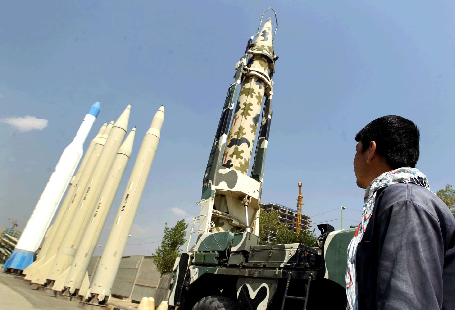
Two days before Arirang-2 took to the sky, a Russian booster, a Dnepr rocket converted from an intercontinental ballistic missile, exploded when carrying another Korean satellite, named Hausat-1.
Hausat-1 was a small box-sized satellite produced with a minimal budget by researchers at Hankuk Aviation University to help students better understand the process of manufacturing satellites.
Lee had reason to worry. Like the Dnepr rocket, the rocket carrying the Arirang-2 was also transformed from an intercontinental missile.
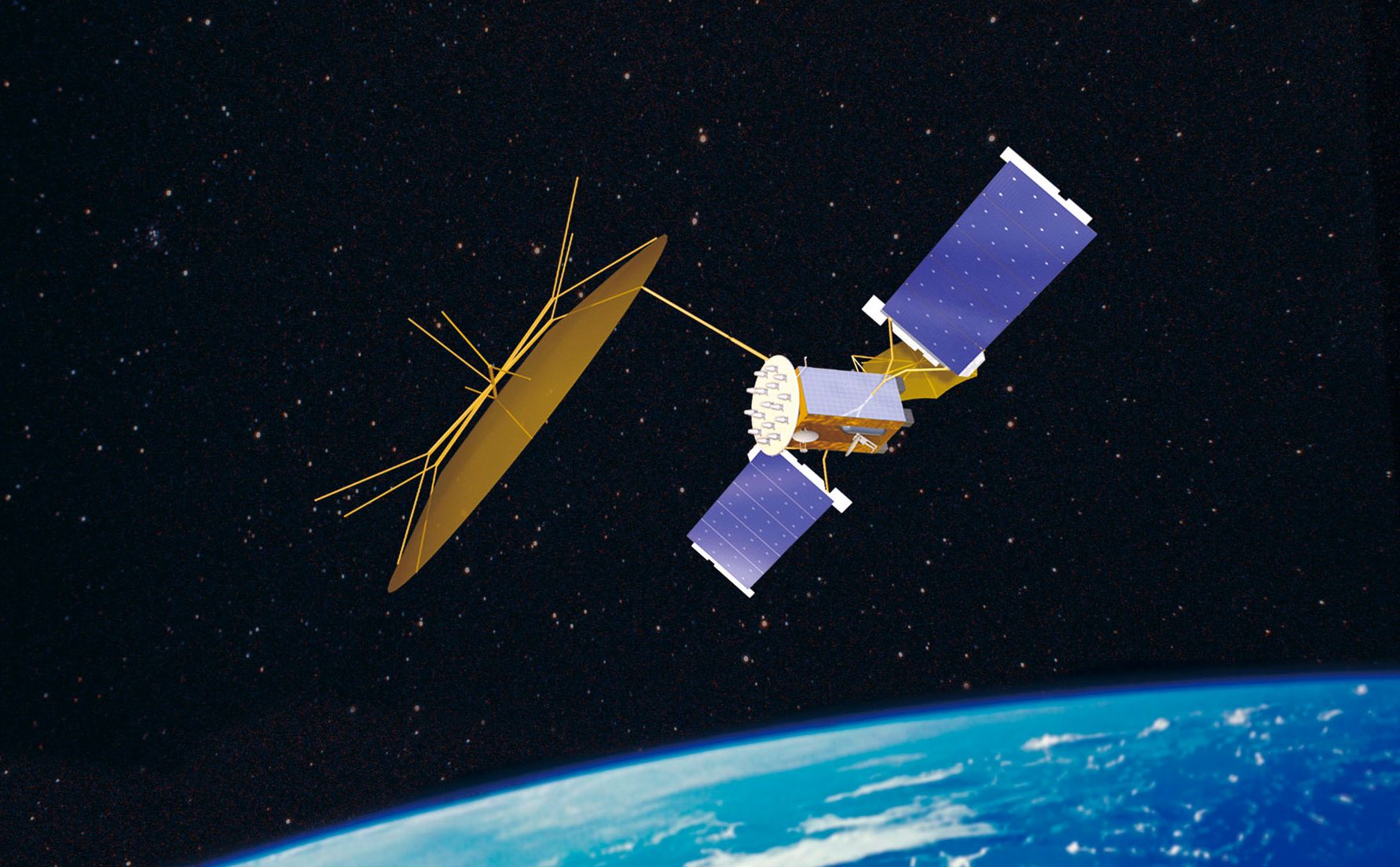
To the relief of Lee and his associates, the Rockot launcher soared into the sky without problems and Arirang-2 successfully separated from the three-stage booster and deployed its solar panels, which allow the earth-probing satellite to use solar power.
The ground control station checked that the 800-kilogram Arirang-2 was in its designated orbit and functioned properly. It will begin taking high-resolution pictures starting next month.
More Tasks
Although the nail-biting moment is over, Lee is still busy since he has many missions to complete — more work on Arirang-2 and other satellites that will travel to space in the years to come.
First and foremost, Lee is required to complete the No. 1 mission of Arirang-2 — provide as many high-resolution pictures as possible with its embedded multi-spectral camera (SC).
MSC refers to a high-end camera, which is capable of taking two or more images of a scene simultaneously, with each image taken in a different spectral band.
So far, Arirang-2 is good. We are sure that it will be able to take pictures beginning next month. We're fine-tuning the process right now, Lee said.
Korea launched its first-ever multi-purpose satellite Arirang-1 in December 1999 from Vandenberg Air Force Base in California, on a Taurus rocket made by Orbital Sciences.
Arirang-1 is equipped with an airborne camera but its quality is poor. It identifies an object 6.6 meters in diameter as a dot.
By comparison, Arirang-2 is armed with a 1-meter resolution camera, the MSC made jointly with an Israel-based company Elop.
Our new 1-meter MSC camera of Arirang-2 can identify whether a moving vehicle is a truck or a passenger car at the altitude of 685 kilometers above the ground, Lee said. Only a few nations such as the United States, Japan, Israel and France have these cutting-edge devices. It is still not known whether Russia and China have them, he said.
Lee said that in a sense Korea became the world's sixth-strongest satellite power in airborne camera technologies with the liftoff of Arirang-2 and its MSC, which cost KARI 263.2 billion won ($276 million).
Arirang Family
Lee flatly denied that the satellite has any military uses. Local media have reported Arirang-2 will be able provide improved reconnaissance, especially about North Korea.
Some even argued that Arirang-2 was designed to drop to lower altitudes for better satellite photos in an emergency.
Lee reiterated that Arirang-2 is for non-military purposes. From the very beginning, Arirang-2 was designed as a remote-sensing device for geographical surveys, natural resource searches and environmental observation, Lee said.
It is also an erroneous idea that Arirang-2 can descend to a lower altitude in an emergency. Its fuel is not enough to enable it to drop to a lower altitude even once, he contended.
The KARI will launch other advanced satellites, Arirang-5 and Arirang-3 in 2008 and in 2009, respectively.
Lee is in charge of all the Arirang family satellites. The Arirang-5 attracts attention because it is outfitted with synthetic aperture radar (SAR).
The SAR system takes advantage of the unique characteristics of radar signals, which can capture above-the-ground imageries with minimum constraints of time-of-day and atmospheric conditions.
Ever since Arirang-1 was launched in 1999, it has been one of top priorities of the nation's space projects to get good satellite coverage, Lee said.
Arirang-2 markedly upgraded abilities but its camera is of little use in inclement weather or at night. But the SAR is different as it can work even in terrible air conditions, he continued.
Another plus of the SAR is that it can capture underground or undersea information for mineral exploration.


