Air Force Research Laboratory,
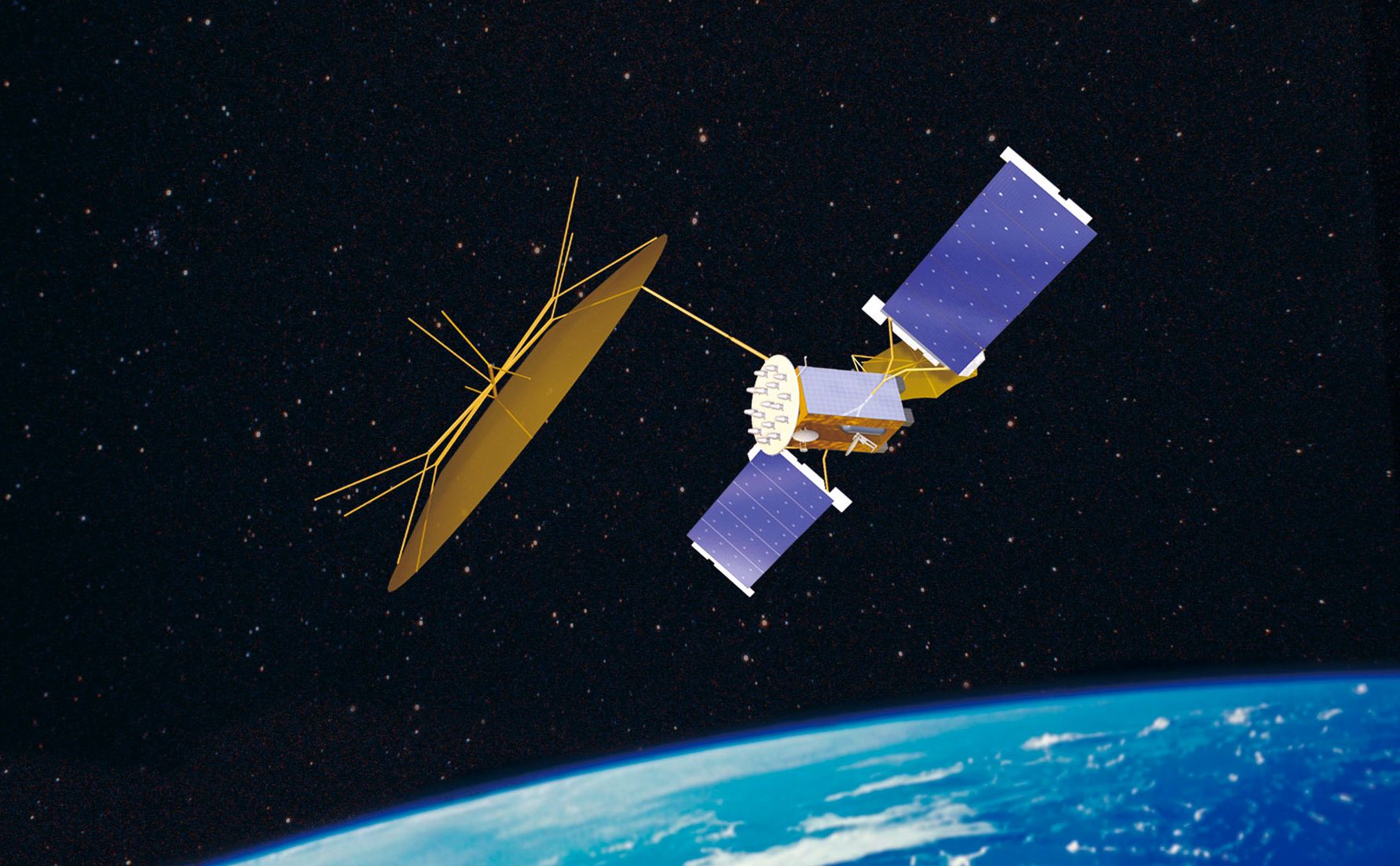
Wright-Patterson OH: Space Vehicles Directorate's Scintillation Network Decision Aid (SCINDA) predicts disturbances in the upper atmosphere interrupting military satellite transmissions. During specific times of the year over the earth's equatorial region, turbulence in the ionosphere, known as scintillation, causes extended degradation for Department of Defense navigation and communication satellites, but a sensor package installed at 14 locations worldwide has helped reduce the impact of this naturally-occurring disruption.
Developed by the Air Force Research Laboratory's Space Vehicles Directorate, Kirtland Air Force Base, N.M., the Scintillation Network Decision Aid (SCINDA) receives data on disturbances in the upper atmosphere, located 60 to 600 miles above the planet, from global positioning system satellites and geostationary radio beacons to predict when and where potential communication interruptions will occur.
“The SCINDA is a regional now casting tool to assist research and users of space-based communication and navigation systems,” said Dr. Keith Groves, program manager, AFRL's Space Vehicles Directorate, Ionospheric Impacts on Radio Frequency Systems. “It is also a scientific collaboration to characterize and forecast low-latitude scintillation.”
Evolving from a research project on the formation of low-latitude ionospheric disturbances started in 1994, the SCINDA provides real time information, updated every 30 minutes, to the Air Force Weather Agency, Offutt Air Force Base, Neb., and the Communication/Navigation Outage Forecasting System Data Center (C/NOFS), Hanscom Air Force Base, Mass., for predicting satellite transmission disruptions and seasonal behavior of the cosmic storms.
From September through March, low latitude regions in the American sector can experience the intense effects of scintillation, which normally transpire at night within 20 degrees of the earth's magnetic equator. This area comprises more than one-third of the world's surface. Mid-latitude regions, such as the continental United States, can also be affected by scintillation during magnetic storm events.
Although the SCINDA has become operational in numerous locations across the globe, coverage gaps have existed from Hawaii westward through Southeast Asia and extending almost to the Middle East. With the initiation of a sensor site on Kiritimati Island (also referred to as Christmas Island), Republic of Kiribati, located 1,160 miles south of Honolulu, Hawaii, in September 2005, and a significant obstacle to scintillation forecasting has been removed. Discovered by Captain James Cook on Dec. 24, 1777, Christmas Island serves as a strategic geophysical location as the equator crosses near the South Pacific landmass.
” Christmas Island is important geophysically and operationally. It is a unique location that allows us to characterize ionospheric turbulence,” Dr. Groves said. “AFRL receives the scintillation data from the site via Iridium telephone link and then passes it on to AFWA and the C/NOFS Data Center.”
Consisting of two ship containers, a stand-alone optical system and a generator, the new SCINDA station, staffed by one contractor, occupies an old National Oceanic and Atmospheric Administration radar site. On the other hand, planned SCINDA network expansion does not stop at Christmas Island. In the next two years, an additional 10 to 12 research posts will become operational. By the end of 2006, approximately six facilities will open on the African continent, and another three SCINDA data locations will commence in India.
The United Nations facilitated the establishment of the stations in Africa through their Basic Space Science Initiative (BSSI) Program dedicated to the International Heliophysical Year (IHY) in 2007. These sites will also be funded by the Air Force Weather Agency.
“The objective of the SCINDA network expansion is to characterize the global behavior of the equatorial ionosphere in time to support users during the next solar maximum (several years of increased space weather activity including scintillation, solar flares, and coronal mass ejections, which begins in 2009),” said the Ionospheric Impacts on Radio Frequency Systems program manager. “Our goal is getting the global SCINDA network completed in the next couple of years to characterize the solar maximum for the first time.”
With the SCINDA network predicting scintillation occurrences in real time, the warfighter now has the capability for using ultra high frequency (UHF) satellite communication quality products for reliable operations, which enhances survivability in the combat environment. Nonetheless, scintillation research serves as the primary driver for the future of SCINDA.
“Research input is our foremost focus. Our objectives are to understand and get information on the dynamics of large-scale ionospheric disturbances and their impacts on the DOD's command, control, and communications system,” Dr. Groves said.


