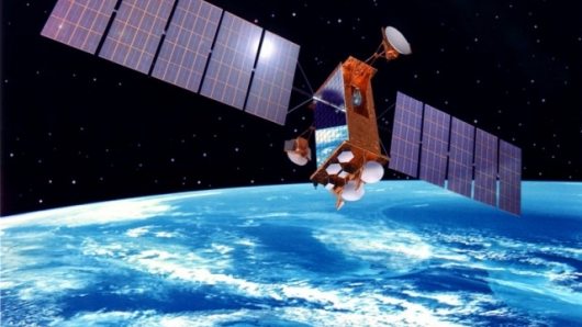
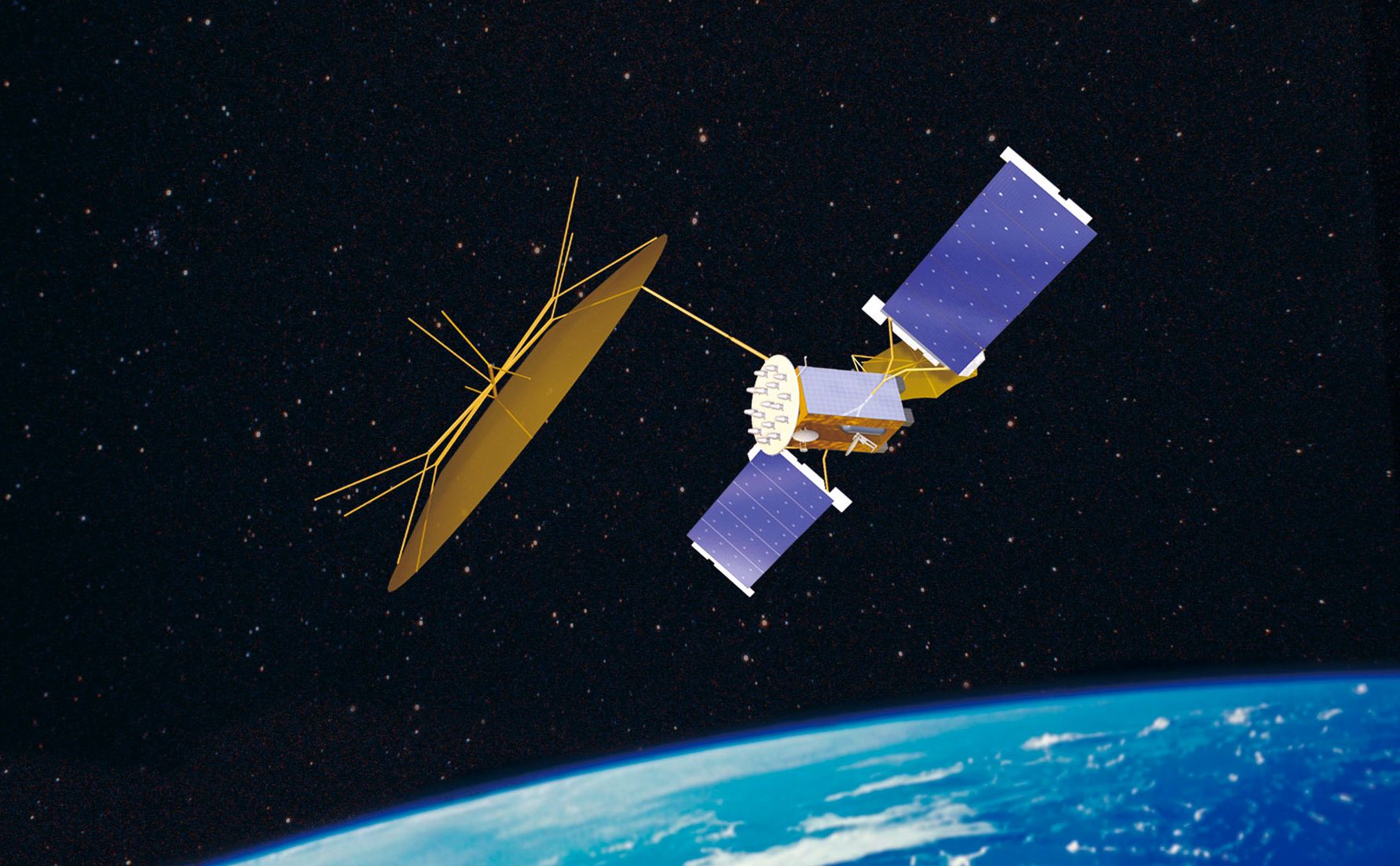
In a new study, “The Market for Civil & Commercial Remote Sensing Satellites,” Forecast International projects that the worldwide civil and commercial remote sensing satellite market will be worth $18 billion from 2011-2020.
Over the same timeframe, some 115 remote sensing satellites will be produced.
According to aerospace systems analyst William Ostrove, the study’s author, governments are the primary buyers of satellite image data. “In addition,” notes Ostrove, “private companies are increasingly relying on such data for many commercial activities. Also utilizing imagery data collected from satellites are municipalities and scientific and other organizations. This increased demand for remote sensing satellite data will drive satellite production during the study’s forecast period of 2011-2020.”
Satellite imagery is well suited to meet the needs of governments and militaries. Commercial satellite operators supplement satellite systems owned and operated by government agencies. For example, satellites can pass over areas where aircraft are restricted from flying. Forecast International’s study details this relationship in its discussion of the EnhancedView program. Under the program, the U.S. National Geospatial Intelligence Agency (NGA) will pay satellite operators, DigitalGlobe and GeoEye for satellite data.
Government agencies also form valuable partnerships with private industry to develop and operate satellite fleets. According to the study, “Many programs around the world such as the Indian Cartosat, Canadian Radarsat, and Franco-Italian COSMO-SkyMed/Pleiades blur the distinction between government and privately operated satellite networks.” These satellite networks provide imagery to both government and commercial customers and provide strong competition to privately operated satellite companies.
The study notes that the industries that are increasingly relying on satellite data include urban planning, natural resource exploitation, agriculture, mapping and navigation, transportation, and scientific study of Earth’s climate. Other uses of satellite imagery include environmental treaty monitoring, damage estimation for insurance claims, real estate appraisal, and assistance during natural disasters.
Top manufacturers in the remote sensing satellite industry include EADS Astrium, Lockheed Martin, Thales Alenia Space, Ball Corporation, and Mitsubishi Electric.
As uses and demand for remote sensing satellite data increases, the opportunities for manufacturers will also increase. Operators need to upgrade their fleets with the latest technology, increase fleet sizes, and replace older satellites. Those changes will drive a healthy market during the 2011-2020 period.
Forecast International, Inc. is a leading provider of Market Intelligence and Analysis in the areas of aerospace, defense, power systems and military electronics. Based in Newtown, Conn., USA, Forecast International specializes in long-range industry forecasts and market assessments used by strategic planners, marketing professionals, military organizations, and governments worldwide.


