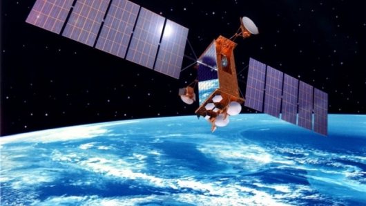
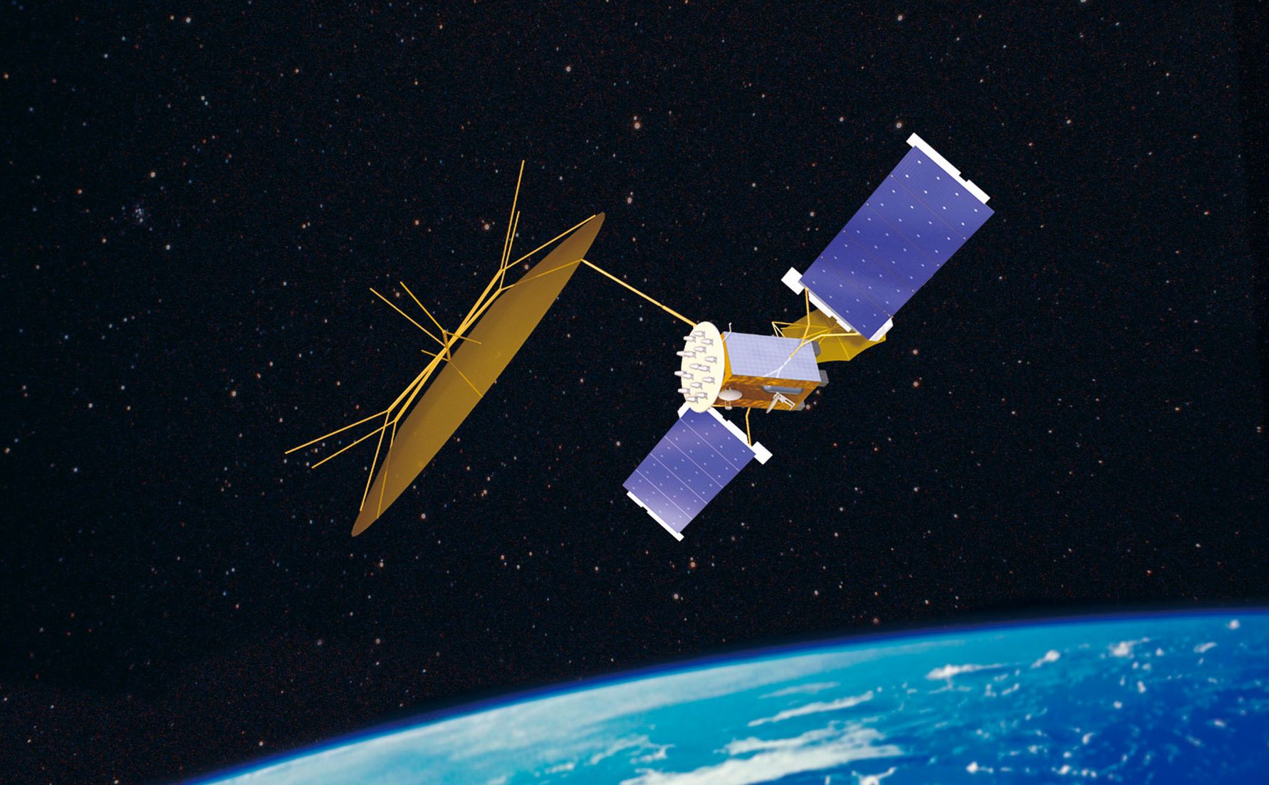
In a new study, “The Market for Civil & Commercial Remote Sensing Satellites,” Forecast International projects that the worldwide civil and commercial remote sensing satellite market will be worth $17 billion over the 2012-2021 timeframe. Over that period, some 108 remote sensing satellites will be produced.
Demand for remote sensing satellite data continues to increase. According to aerospace systems analyst William Ostrove, the study’s author, “The demand for image data will drive a need for satellites to provide that data.” The study points out that governments remain the most important buyers of data; however, commercial uses are on the rise.
Forecast International’s study covers satellites operated by civil government agencies as well as commercial companies. Data from these satellites are available for both government and private use.
Militaries remain the most important users of satellite imagery. Ostrove notes, “During the campaigns in Afghanistan and Iraq, the successes of space-based imagery accentuated the necessity of these systems in establishing situational awareness on the battlefield.” The primary advantage of satellites to military planners is their ability to pass over areas where aircraft are restricted from flying. Even commercial satellite operators play a vital role in gathering military intelligence. Commercial satellite operators gather imagery for militaries through programs such as the U.S. National Geospatial Intelligence Agency’s EnhancedView program.
Governments are also increasingly turning to synthetic aperture radar technology to meet their imagery needs. SAR systems, which use radio frequency signals to develop images, can gather images 24/7and through cloud cover, giving them an important advantage over satellites that record optical images.
In addition to military operations, satellite data is used for meteorological and scientific observation, as well as disaster relief. Typically, government agencies own and operate these satellites. However, satellite imagery continues to find new applications, particularly in the commercial market. According to the study, “Commercial uses of satellite data include urban planning, natural resource exploitation, agriculture, mapping and navigation, and transportation.”
Top manufacturers in the remote sensing satellite industry include EADS Astrium, Lockheed Martin, Thales Alenia Space, Ball Corp, and Mitsubishi Electric. The opportunities for manufacturers will increase as remote sensing applications and demand rises; however, maintaining a competitive edge will require upgrading satellites with the latest technology, expanding constellations, and replacing older satellites. This will help drive a healthy market during the 2012-2021 period.


