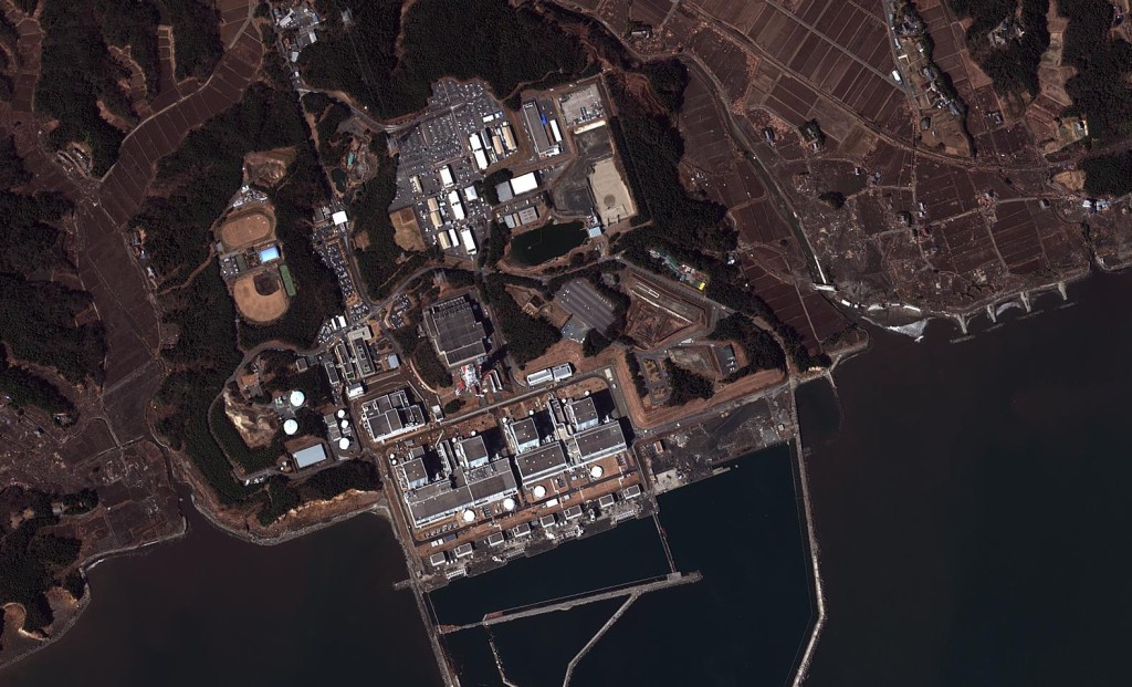
HANSCOM AIR FORCE BASE: The Electronic Systems Center-managed Eagle Vision imagery collection team here rushed into action within hours of the devastating earthquake and subsequent tsunami that struck Northeast Japan March 11.
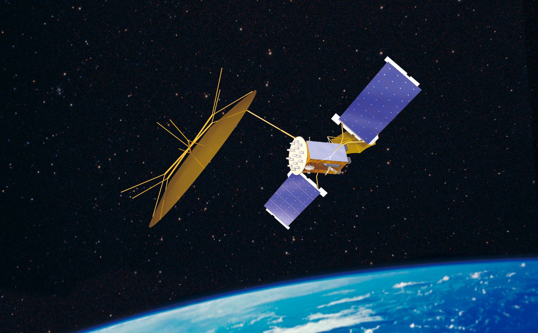
Shortly after 7 a.m. Eastern Time on March 11, the Eagle Vision team began working to order satellite imagery from a pre-established list of world-wide vendors, said program manager Capt. Jason Moll. In this case, the Eagle Vision team is using imagery from various globally operated commercial satellite operators, including two U.S. firms, as well as ones in France, Germany, Italy and Canada.
“We are providing the Japan imagery to U.S. Pacific Command, the National Geospatial-Intelligence Agency and U.S. Geological Survey, so that they can perform damage assessment and help organize and support relief operations,” the captain said.
The team also has been collecting imagery from Hawaii and a couple of areas in California that received tsunami damage, said Jack Wurts of the program office.
Disaster response officials use the satellite imagery to plan, prioritize and optimize their actions, often comparing overlays that contrast current conditions with pre-disaster imagery.
“This before-and-after comparison expedites the detection of destroyed roads and homes and highlights possible future trouble spots,” Captain Moll said.
Once they receive the expedited imagery, responders and relief workers can plan the safest and most logistically feasible routes to rush aid to the most heavily affected areas.
Eagle Vision consists of five deployable satellite downlink stations that collect and process near-real-time optical and synthetic aperture radar imagery from commercial satellite constellations. The system ensures that U.S. forces, or in this case, disaster responders, have current, high-resolution imagery of the area of interest.
The unclassified imagery doesn’t offer the fidelity that national defense-asset imagery does, but the pictures fully meet disaster response needs, according to Captain Moll. They’re also more readily available and can be turned around much faster.
The program office staff will continue ordering commercial satellite imagery for as long as officials require it, working to put together the most comprehensive list of shots they can. In this instance, and most others, they bear all the costs itself, using a reserved pool of money.
Just last month, NASA and the U.S. Department of the Interior honored the Eagle Vision program with the 2010 William T. Pecora award during a Pentagon ceremony. Eagle Vision was recognized for domestic and international contributions to homeland security, humanitarian aid and natural disaster recovery efforts.
In 2010, Eagle Vision was critical to early responders in Haiti last January when a massive earthquake wreaked disaster. In 2009, Hanscom’s Eagle Vision team supported five deployments and aided recovery for 18 natural disasters, providing maps layered with satellite imagery so rescue workers could optimize how, where, and when to respond.


