China’s surveying and mapping capabilities will be further boosted with one more high-resolution mapping satellite launched on Saturday.
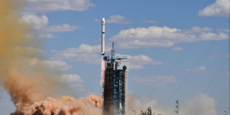
The Ziyuan III 03 satellite was sent into orbit by a Long March-4B rocket from the Taiyuan Satellite Launch Center in north China’s Shanxi Province. It will provide data for the country’s land resources investigation, natural disaster prevention, agriculture development, water resource management, environmental survey and urban planning.
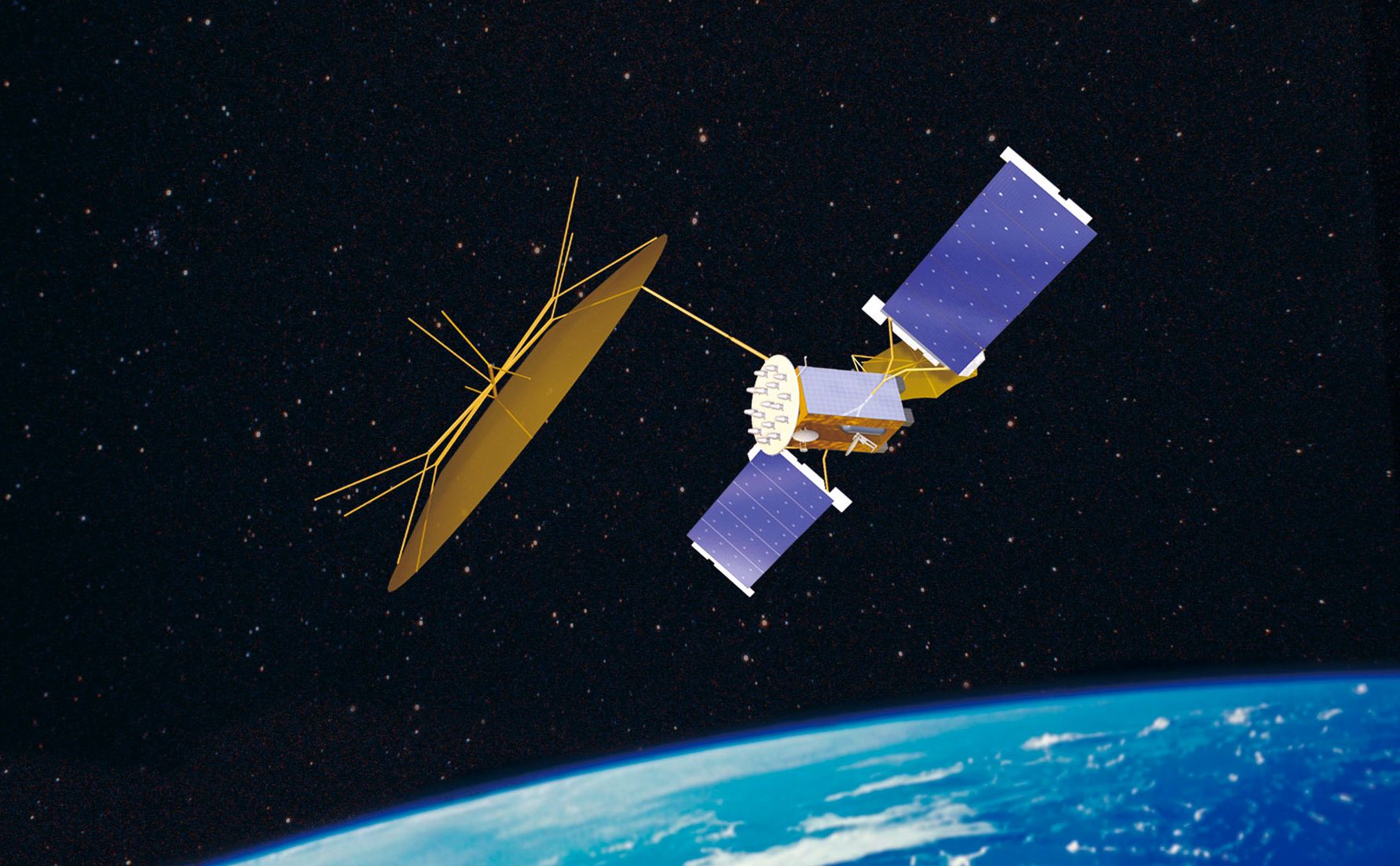
The newly-launched satellite will join its predecessors Ziyuan III 01 and Ziyuan III 02 to form a mapping satellite constellation, for capturing high-definition, 3D images and multispectral data, sources with the Ministry of Natural Resources, the main user of the Ziyuan III satellites, said Saturday.
Compared with its predecessors, Ziyuan III 03 has a longer design life and higher image resolution and accuracy. It can increase the system efficiency of image formation and significantly reduce the update period.
Wang Quan, head of the ministry’s Land Satellite Remote Sensing Application Center, said the Ziyuan III 03 satellite also enables the system to have a “revisit time,” the time gap between observations of the same point on Earth, of one day, down from three days when only Ziyuan III 01 and Ziyuan III 02 were operating.
According to the ministry, the Ziyuan III satellites have provided image products to the United Nations and more than 30 countries and regions, advancing international cooperation in satellite applications.


